Aerosol Characterization from Polarimeter and Lidar (ACEPOL) 2017
Experiment Information:
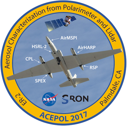
The ACEPOL flights in October-November 2017 are in support of NASA's Aerosol-Clouds-Ecosystems (ACE) mission study. The ACEPOL flights are conducted out of Palmdale, CA.
PLEASE NOTE: Starting in 2017, the CPL data products are being updated to reflect improved processing algorithms. The data products will look more like the CATS data products, applying the improved CATS processing algorithms to CPL data.
CPL ACEPOL Flight Data
CPL data from ACEPOL (follow the links below) is fully processed and final. However, an electronics controller failed in the laser during the second flight. The cause of this failure was not immediately apparent, and there was no time to take the instrument out of service during the ACEPOL campaign. Thus, the CPL data is averaged more than normal (noted on each individual day) and on some days one or more wavelengths were not optimal. We have done our best to provide quality products at reasonable averaging, but contact us if you have any questions.
NOTICE: Access to CPL data is not restricted. However, we do ask that everyone read and abide by the CPL data usage policy found here: CPL data usage policy. In addition, please bear in mind that satellite teams have their own data usage policies, and they should be contacted before use or publication of validation data.
To inquire about data processing or data availability for the CPL dataset, please see the contacts page for more information