| Support Data | ||||
|---|---|---|---|---|
| View | ||||
| map_04623_08dec03.gif | Map showing flight track for this day | |||
| Quick Analysis | ||||
| View | ||||
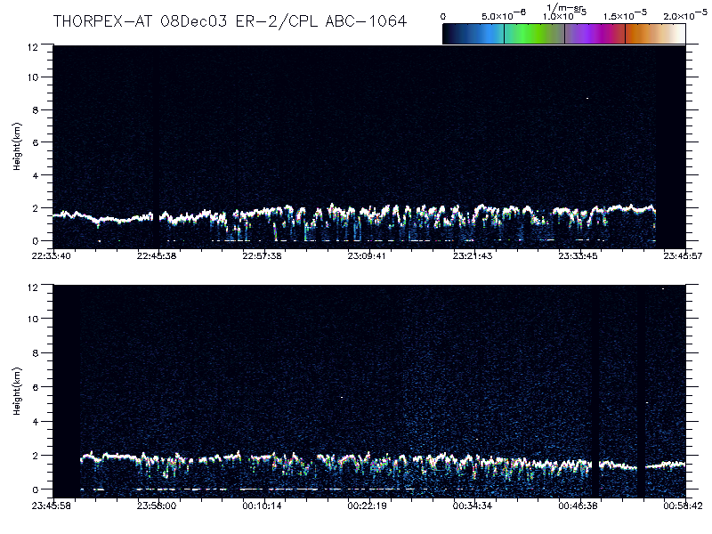
| imgsum_04623_08dec03.gif | Flight summary image showing whole flight in one wavelength | |||
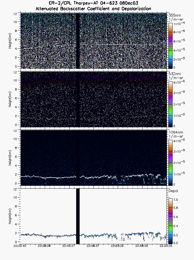
| imgseg01_04623_08dec03.gif | Start time = 22:33:40 End time = 23:03:35 | |||
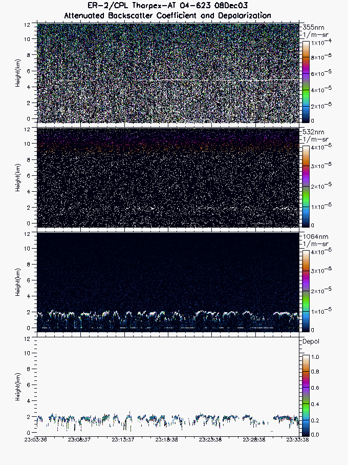
| imgseg02_04623_08dec03.gif | Start time = 23:03:36 End time = 23:33:38 | |||
| imgseg03_04623_08dec03.gif | Start time = 23:23:39 End time = 00:03:59 | |||
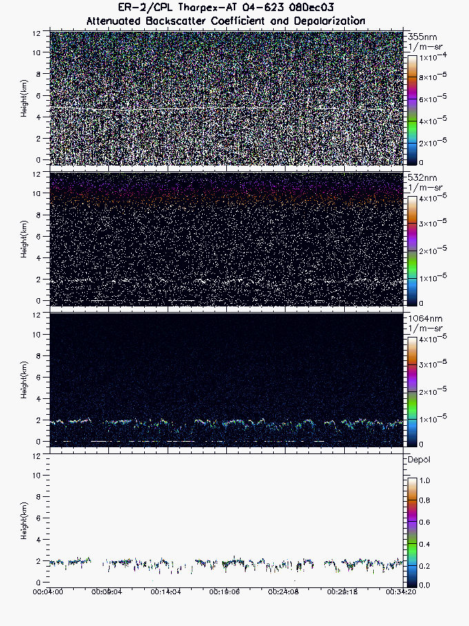
| imgseg04_04623_08dec03.gif | Start time = 00:04:00 End time = 00:34:20 | |||
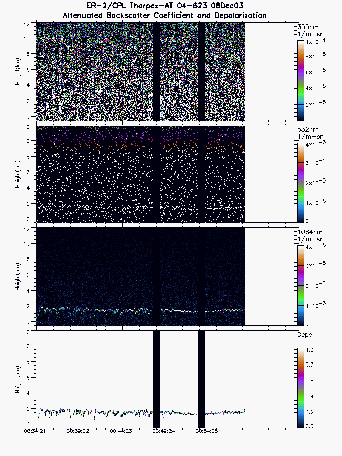
| imgseg05_04623_08dec03.gif | Start time = 00:34:21 End time = 00:58:42 | |||
| layers_04623_08dec03.txt | Layer boundary file showing type and location of all atmospheric layers sensed | |||